

3D Scanning for Movie VFX
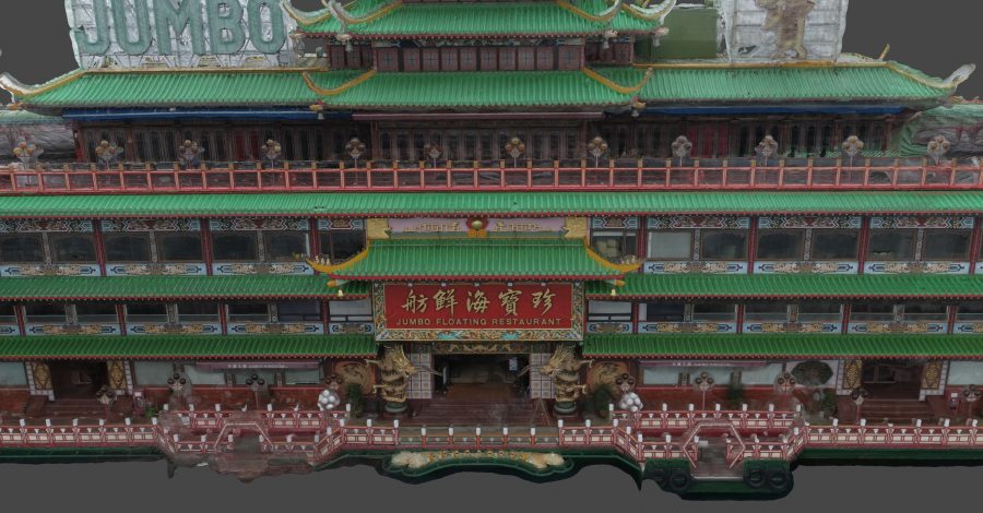
We have undertaken a number of 3D scanning and modelling projects for international movie and TV productions. For one recent international blockbuster production for Netflix, the producers required a full 3D scan of the (since departed) Jumbo Restaurant in...
Read more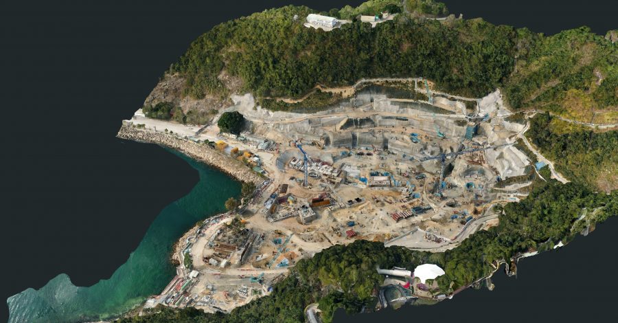
Construction Progress Modelling
For the Ocean Park Waterworld project, precise, detailed orthomosaic maps and 3D models were captured and generated on an ongoing basis to monitor and assess slope formation and foundation work. The tight confines of the site and the steep...
Read more