
Dronesurvey Asia has partnered with Red China Geosystems, the leading distributor in Greater China for RIEGL laser measurement systems. RIEGL’s state-of-the-art LIDAR hardware is renowned for its quality and field density in terrestrial, industrial, mobile, airborne, and UAV-based laser scanning. RIEGL’s unique multi-target resolution technology is able to penetrate even the densest foliage to produce the highest quality precision point cloud 3D digital terrain and surface models.
Red China Geosystems (RCG) has been operating RIEGL’s state-of-the-art UAV scanners in China for a number of years with great success. Now, with Dronesurvey Asia, we bring this advanced drone-based LiDAR technology to Hong Kong and Macau, offering customers the ability to scan larger and less accessible areas for a wide range of survey and 3D modelling applications.
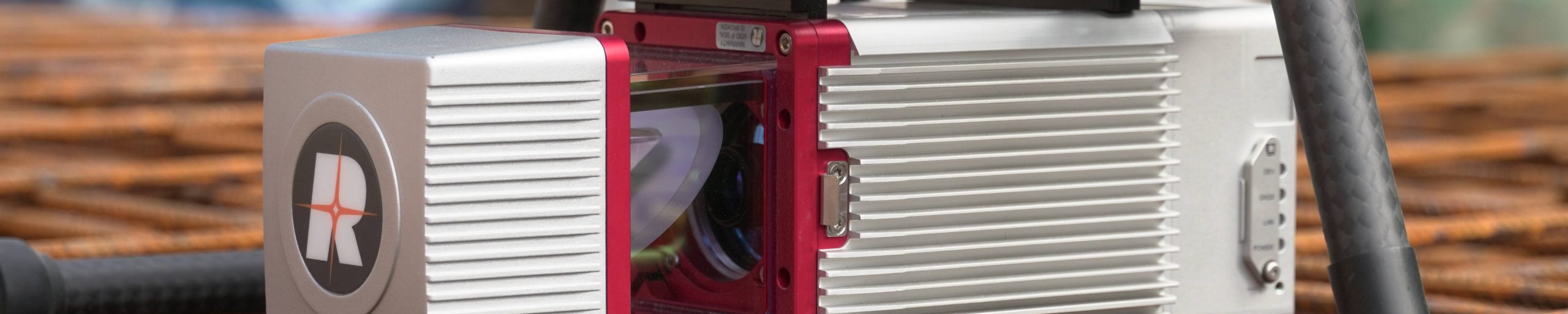
The World’s Most Advanced UAV LiDAR Scanner
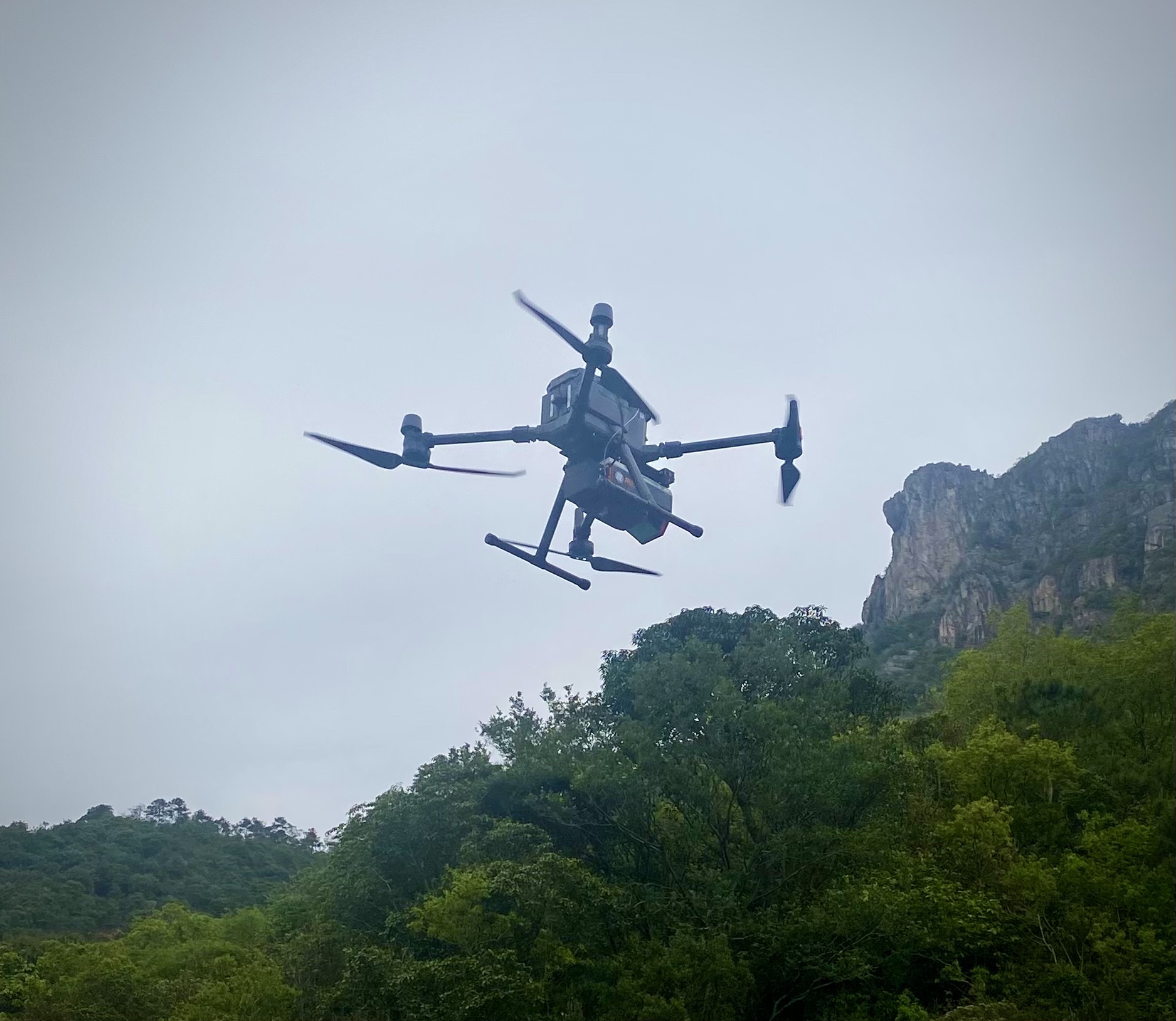
For Hong Kong, we can now offer the RIEGL VUX-12023. Coupled with the DJI Matrice M300 RTK (see below), this package produces exceptionally dense and accurate point clouds in a very efficient setup.
The RIEGL VUX-12023 offers a wide 100-degree field of view, and an extremely high pulse repetition rate of up to 2.4 MHz. Thus, it is perfectly suited for high point density mapping applications over corridors and dense vegetation cover.
The VUX-12023 also has a unique 3-way scanning pattern whereby the measuring beam is simultaneously emitted in three different directions — strictly nadir, +10 degrees forward, and -10 degrees backward. This allows acquisition with an unrivalled completeness in data capture, especially in challenging environments with vertical surfaces, narrow canyons, the dense vegetation cover often found in Hong Kong. Watch the video below to see how the 3-way system benefits the scan field.
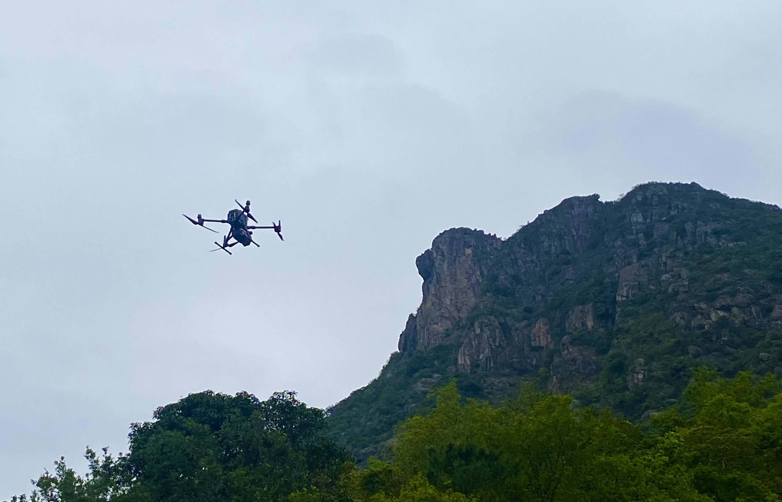
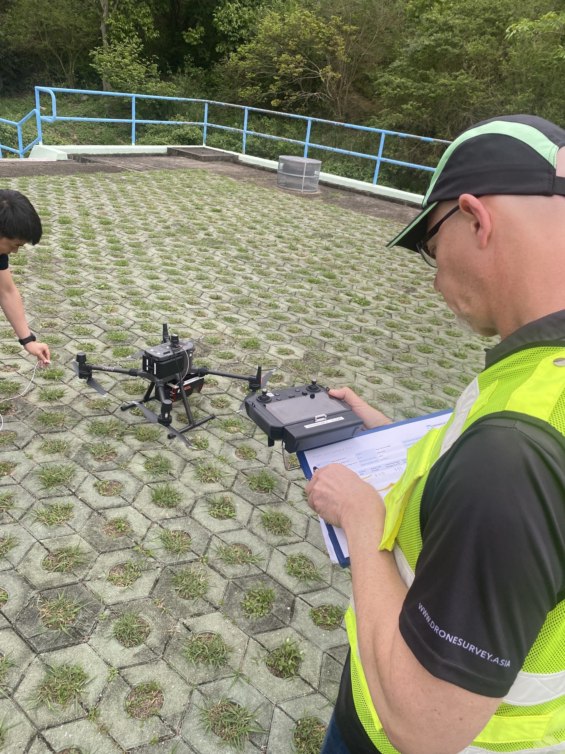
At a recent demonstration for a major government department, we were able to show how the RIEGL VUX-12023 could map and penetrate the underlying terrain beneath dense vegetation below the Lion Rock.