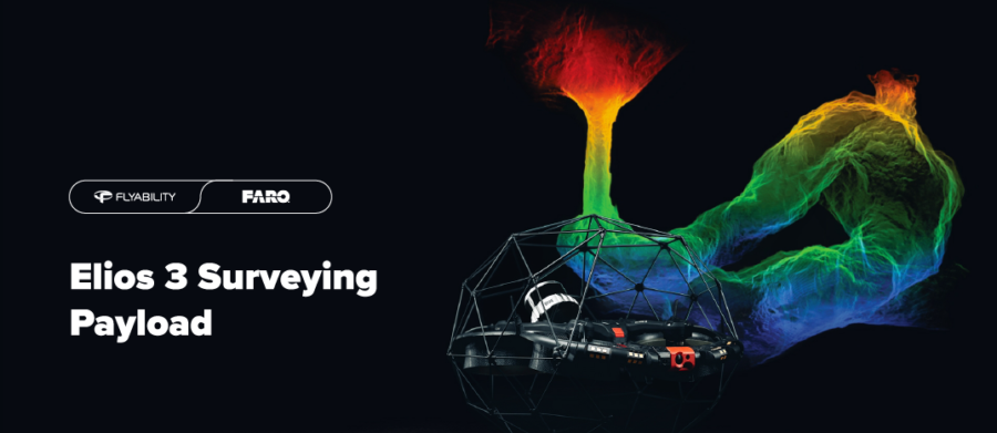
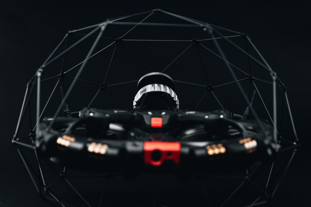
Flyability, the market leader in confined-space drones, announces the launch of a new Surveying Payload for its Elios 3 drone at InterGEO, Berlin.
The new payload is the Ouster OS0-128 Rev 7 LiDAR scanner that enables safe, centimetre-accurate scans of hard-to-reach areas, supporting Flyability’s overall company mission of keeping people out of hazardous environments. The payload comes as part of a bundle including training, reflective targets, and specialised processing software, FARO Connect (formally GeoSLAM Connect).
The key features of the new LiDAR unit on the Elios 3 include greater precision and accuracy, a wider range, higher point density, and improved photon sensitivity.
This LiDAR payload for the Elios 3 is an alternative to the existing Ouster OS0-32 Rev 6.2 unit (which continues to be available), and targets professionals seeking survey-grade results in hard-to-reach, inaccessible spaces.
Impressive Specs
The new LiDAR unit delivers impressive results in terms of accuracy and precision, with a huge 5 x point density increase over the standard LiDAR unit.
Point cloud accuracy in structured environments see ‘drift’ as low as 0.1% – 0.3%. In symmetrical and linear environments, ‘drift’ is as low as 0.5% – 2%. This is unprecedented for a drone-mounted mobile laser scanner:
| ACCURACY | PRECISION | RANGE | POINT DENSITY |
| 0.1% drift | 6mm 1σ | 100m | 1.3 million points/sec |
With the Elios 3 Survey package, professionals in the field can now expect volumetric measurements that are accurate to within 1% of terrestrial laser scans, distance measurements with centimetre precision, and considerably more detailed point clouds with sharper definition.
In addition, the new processing algorithms along with the greater resolution are better suited for symmetrical environments, appealing to inspectors of wastewater pipes and sewers, delivering unprecedented accuracy and point cloud precision from scans inside linear environments.
The new Surveying Payload is sold in a bundle with FARO Connect, a powerful software solution by the global leader in 3D measurement, FARO Technologies. The software has SLAM presets that are optimised for data gathering with the Elios 3.
During processing, FARO Connect will automatically interpret reflective targets as ground control points to geo-reference Elios 3 point clouds, as well as filter them for noise. With these targets, FARO Connect can also align multiple point clouds to create a single, clean 3D model for clear visualisation. Outputs can be exported in industry-standard formats, enabling smooth transfer of data and further work.
With this addition to the Flyability portfolio, users can decide on the level of precision they require from their Elios 3, according to their specific industry needs. The new Surveying Payload is available for purchase directly from Dronesurvey Asia.
Special upgrade deals and offers are also available for existing Elios 3 users and customers in Hong Kong and Macau. Contact us for details.


0 Comments
Leave a comment