PIX4Dcloud Advanced – 36-Month Rental
$69,900
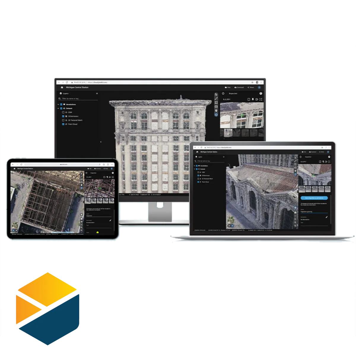
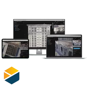
 PIX4Dcloud is the online platform for drone and ground mapping, site documentation and project collaboration.
- Easy to use: start your new project in minutes. User-friendly platform with no previous training required.
- Straightforward communication: share your project status with teams and other stakeholders with the click of a button.
- Up-to-date documentation: keep a permanent and up-to-date record of a project, and resolve disputes efficiently. Plus keep a visual timeline of your jobsite for site tracking and project documentation.
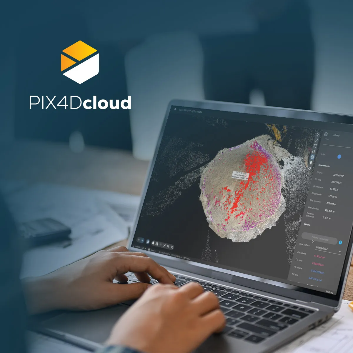
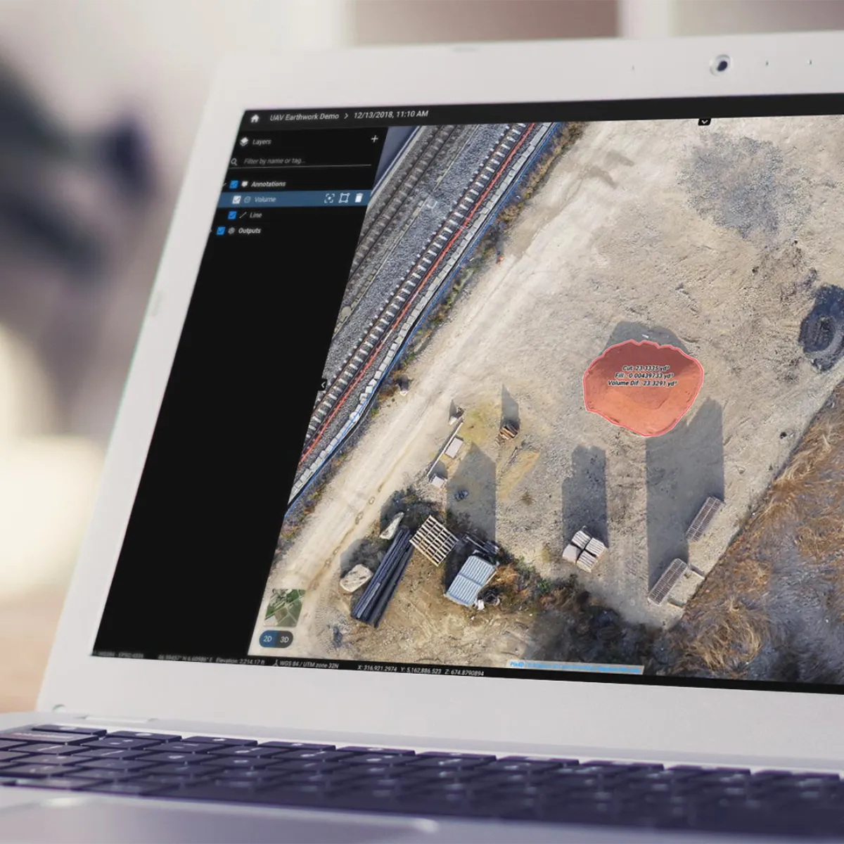
- Calculate and compare volumes: perform quick and precise volume calculations and compare them over time.
- Visualise your IFC files: overlay your IFC files onto the 3D point cloud or mesh and get better visualisation of your project.
- Overlay design plans and maps: compare the as-built with the as-designed to instantly verify site progress.
- Compare in 2D/3D over time: compare two specific days to spot what has changed. Overlay a dxf, pdf or ifc file on one side, and your orthomosaic/3D point cloud/mesh on the other to get better visualisation of your progress.
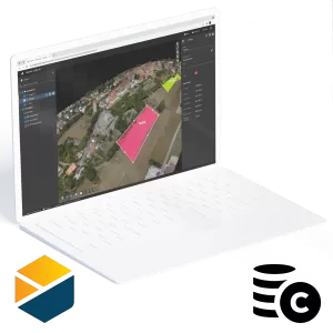
- Measure, annotate and share: measure distances, highlight critical elements and share data with your team, clients or stakeholders.
PIX4Dcloud advanced includes:
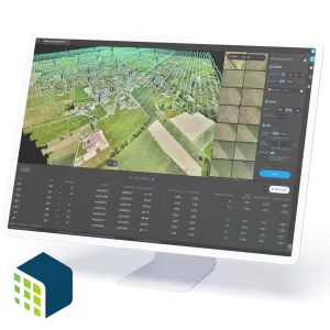
- 100 credits per month or 2500 credits annually
- Unlimited project sharing
- Measurements & Annotations
- Access to PIX4Dcatch & PIX4Dcapture Pro
- Team and User Management
- 2D/3D Comparison
- PDF reports
- DXF and IFC overlays
- Timeline view
Description
Purchase of this product gives you 36-month (3 year) access to PIX4Dcloud advanced, which can be renewed at any time. With PIX4Dcloud advanced, you get:
- 100 credits per month or 2500 credits annually
- Unlimited project sharing
- Measurements & Annotations
- Access to PIX4Dcatch & PIX4Dcapture Pro
- Team and User Management
- 2D/3D Comparison
- PDF reports
- DXF and IFC overlays
- Timeline view
See below for other licence options.


