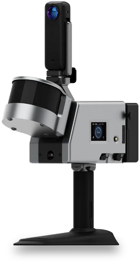
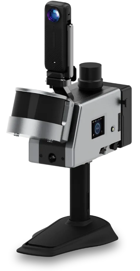
The GoSLAM T series of mobile scanners offer an all-in-one integrated solution for high speed, detailed and accurate scanning. There are three T Series models in the range. Choose the one that fits your needs in terms of LiDAR point density, range, and built-in RTK capability. There’s also a wide selection of accessories available. Scroll to learn more…
GoSLAM T100 Pro / T100 Pro RTK
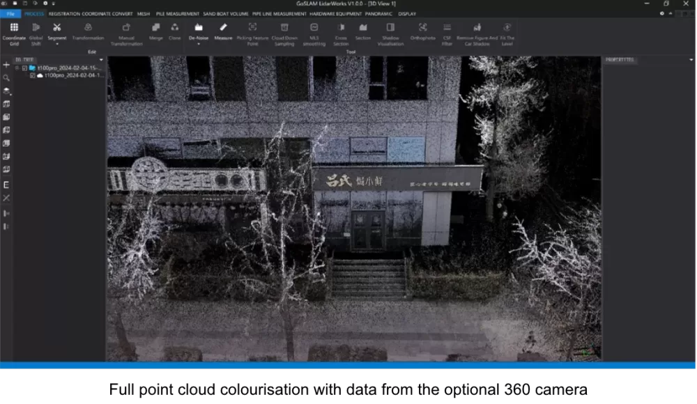
An all-in-one SLAM LiDAR scanner with a touch screen interface, a scan rate of 640,000 pts/sec, and a range up to 120m. Built to withstand all weathers, the T100 Pro includes an integrated LiDAR / visual SLAM system for accurate scan positioning, along with built-in point cloud colourisation.
Multiple ports allow for the connection of various GNSS receivers for additional precision in the field. An optional 360 camera can be fitted for enhanced point cloud detail and colourisation.
The T100 Pro RTK includes a built-in RTK receiver for instant connection to a base station, or your preferred NTRIP network.
GoSLAM T300 Pro / T300 Pro RTK
Physically and technically identical to the T100 Series above, the T300 LiDAR has a range up to 300m. As above, the T300 Pro includes an integrated LiDAR / visual SLAM system for accurate scan positioning, along with built-in point cloud colourisation.
Multiple ports allow for the connection of various GNSS receivers for additional precision in the field. An optional 360 camera can be fitted, for additional point cloud colourisation.
The T300 Pro RTK includes a built-in RTK receiver for instant connection to a base station, or your preferred NTRIP network.
GoSLAM Accessories
GoSLAM Backpack Kit
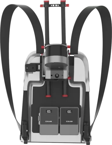
A lightweight backpack kit that can be used for carrying any GoSLAM T Series scanner. Supports quick installation with one click. Holds a GoSLAM scanner, and a twin-battery power pack.
An optional GNSS receiver can be fitted to the top of the backpack frame. With a GNSS receiver in RTK mode the scanner is able to achieve centimetre-level real-time positioning. High accuracy point cloud data can be obtained without the need for a closed loop.
GoSLAM Car Mount Kit
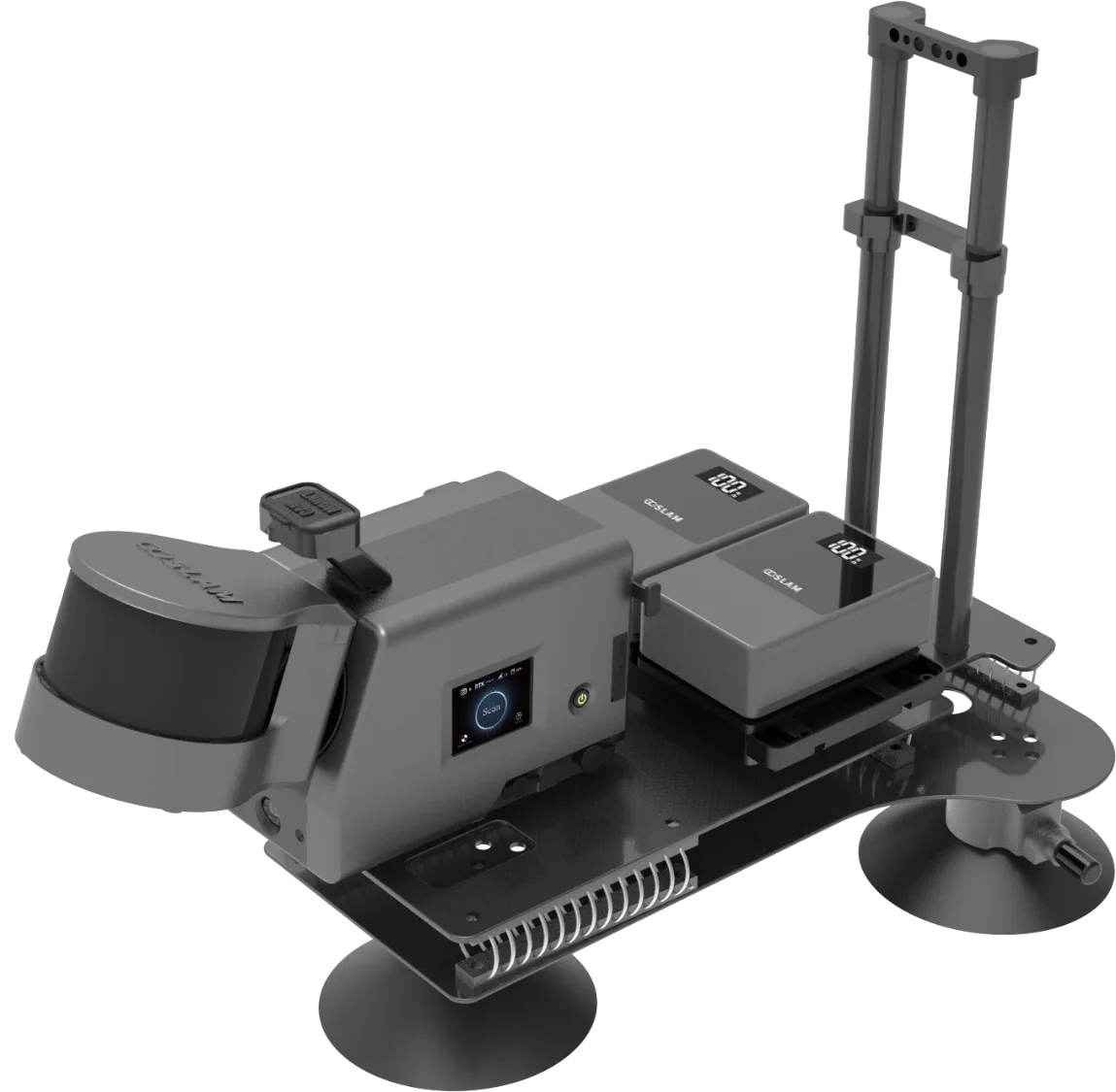
The GoSLAM Car Mount Kit is an easy to install kit for the top of a car, which can accommodate all GoSLAM T Series scanners. Enjoy longer range, high speed data acquisition with the Car Mount.
Like the Backpack Kit, an optional GNSS receiver can be fitted to the car mount frame. With a GNSS receiver in RTK mode, the scanner is able to achieve centimetre-level real-time positioning. High accuracy point cloud data can be obtained without the need for a closed loop.
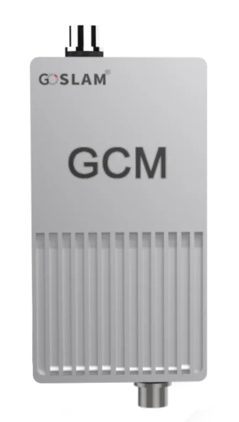
GoSLAM GCM Module
The GCM module supports backpacks and vehicle-mounted platforms, and can connect to a wide range of RTK GNSS receivers (including the Emlid RS3!) Quickly obtain RTK data while scanning via your preferred NTRIP service, or from another GNSS base station. Obtain accurate and reliable 3D data without the need for a closed-loop.
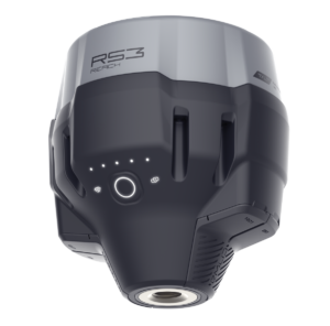
Emlid Reach RS3
The ideal GNSS receiver for your GoSLAM scanner. The Reach RS3 includes built-in tilt compensation, easy 4G network connection to your NTRIP service, and an intuitive app-based interface.
GoSLAM Drone Kit
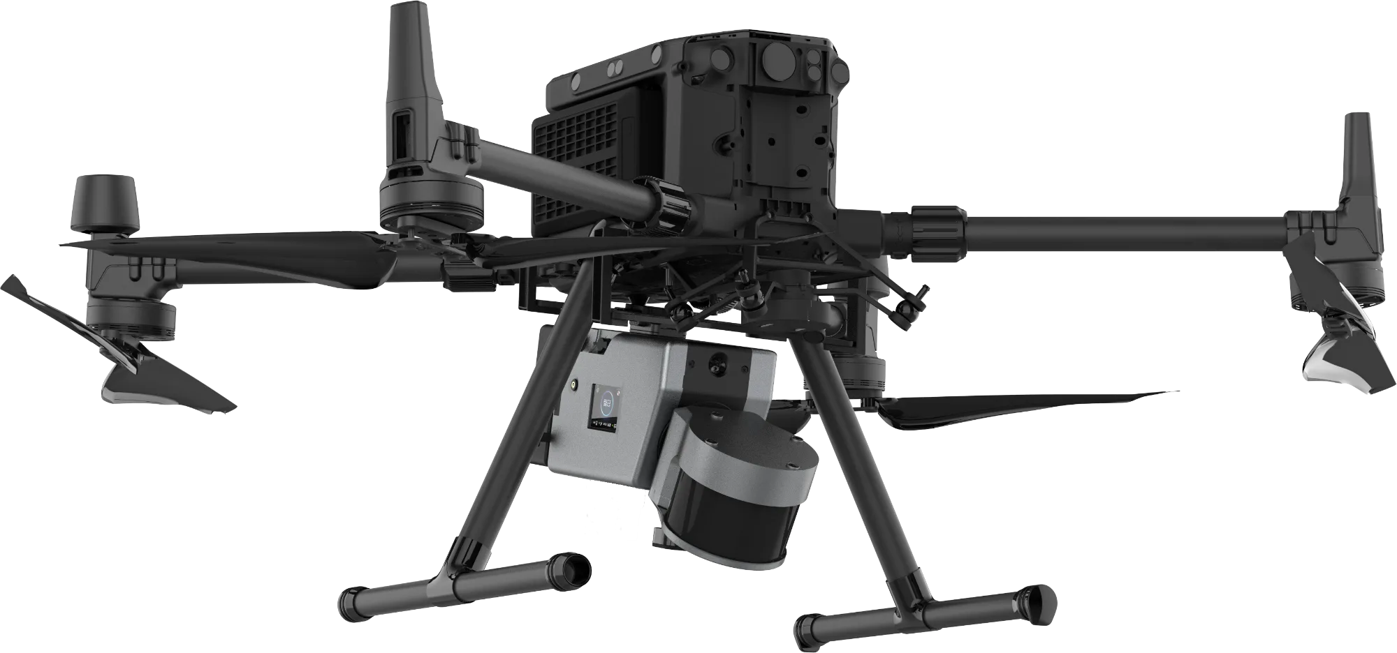
The GoSLAM Drone Kit allows for the mounting of any GoSLAM T Series scanner to the DJI M300 / M350 drones. The scanner is connected to the drone through the P-SDK connector, for power and monitoring as well as RTK.
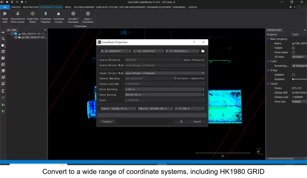
Point cloud output on the drone is in WGS84 and CGCS2000 coordinate systems.
GoSLAM Software
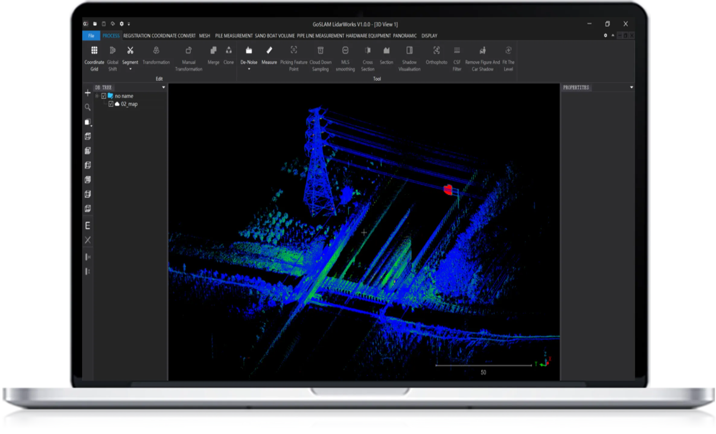
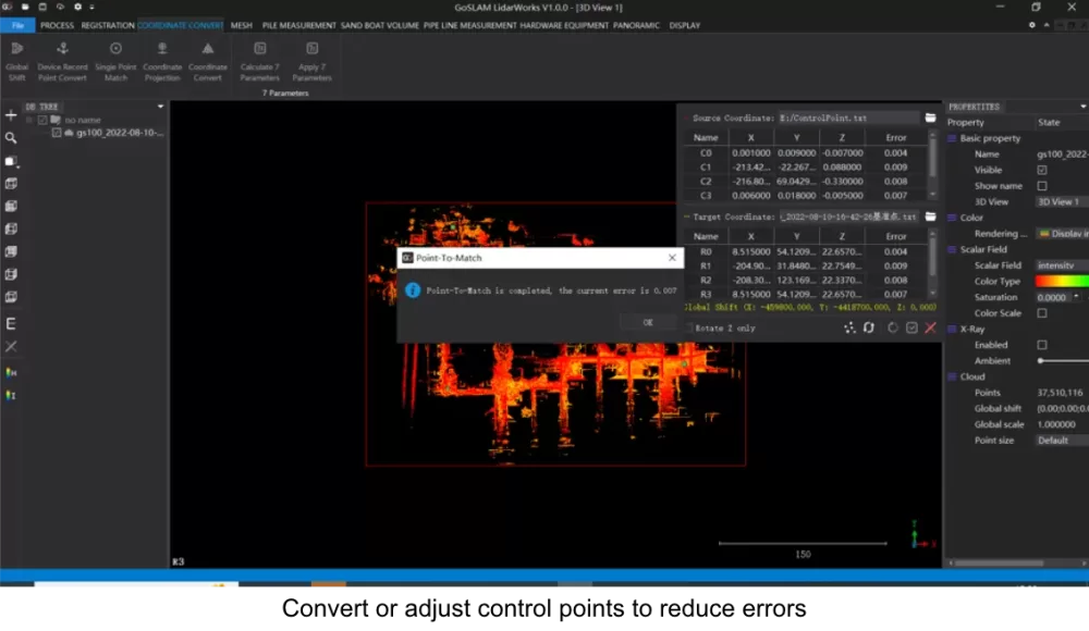
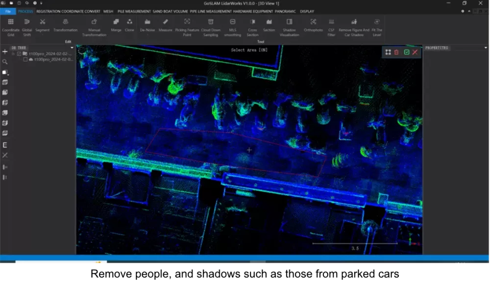
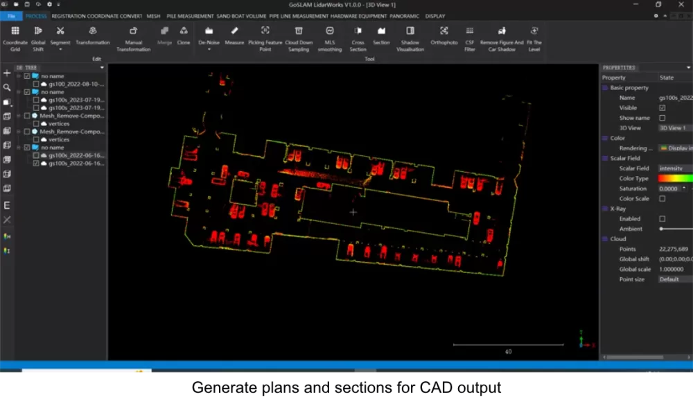
No 3D mobile scanning system is complete without good post processing software behind it, and the GoSLAM RS range is no exception. GoSLAM LidarWorks is a complete, fully-featured desktop software application for the import, processing analysis and export of 3D data captured by GoSLAM scanners and cameras.
GoSLAM LidarWorks
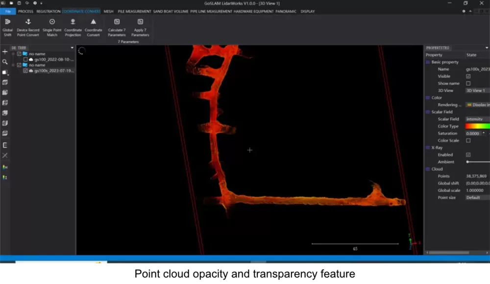
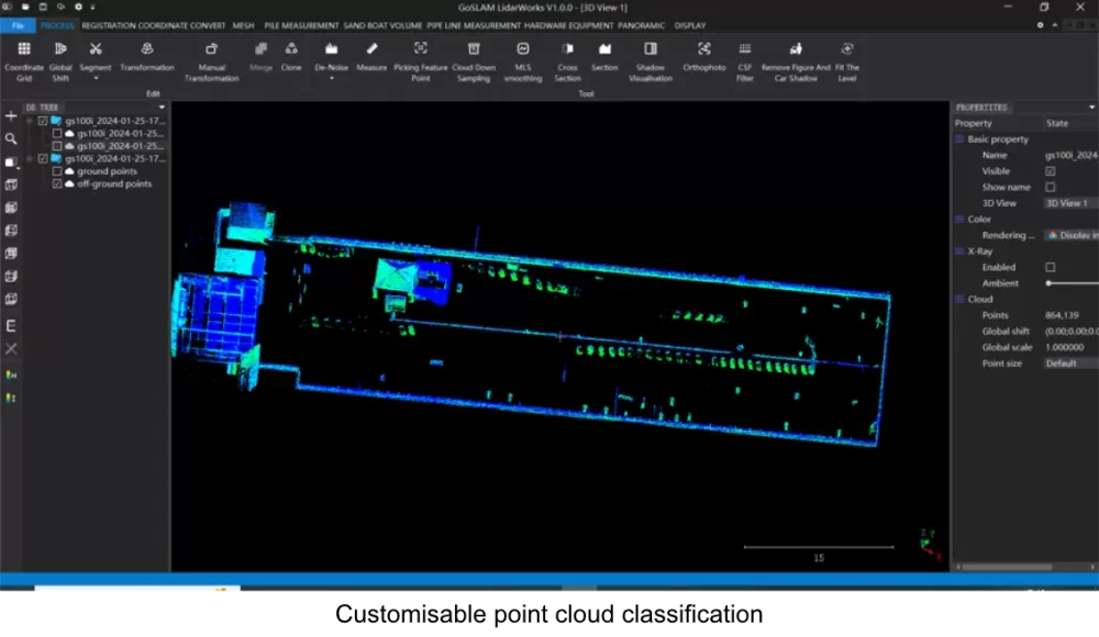
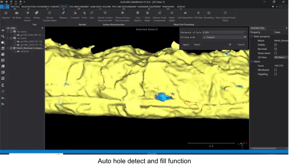
GoSLAM LidarWorks desktop software has been specifically designed and developed for the GoSLAM scanner series. In addition, the software supports point cloud processing from other third-party devices.
Use LidarWorks to import your RS-i point cloud data. Optimise and clean your point clouds with features like noise reduction, smoothing and format conversion to comply with other third-party applications.
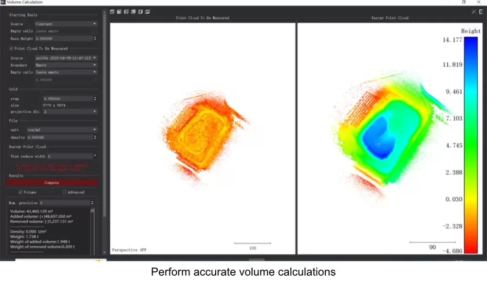
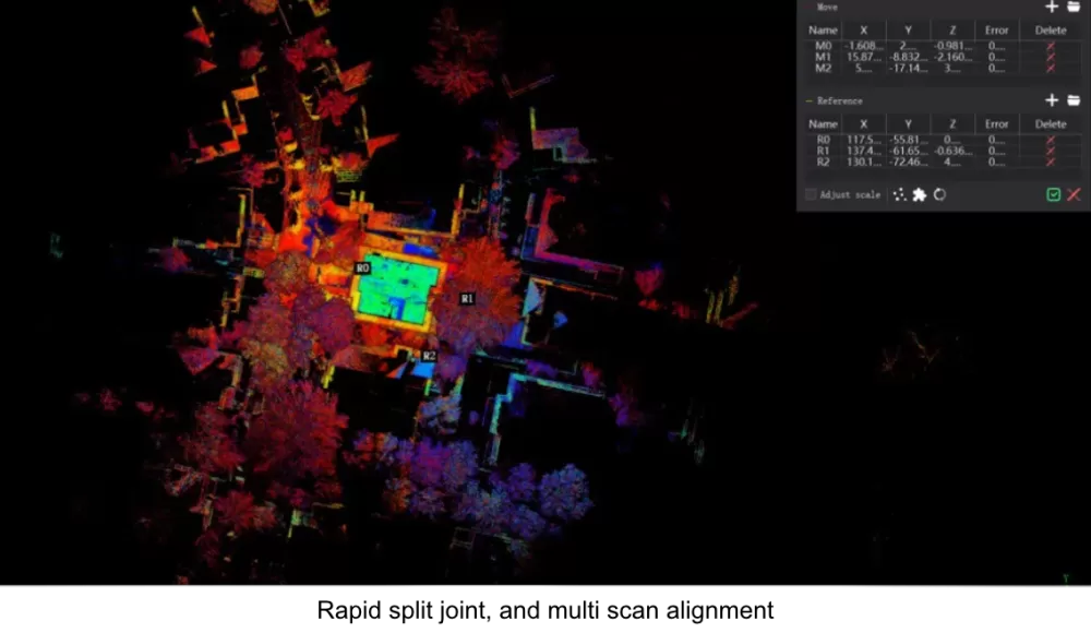
Combine GoSLAM scanner data sets from the same location: scan sets can be concatenated and merged together with one click. A splicing optimisation function effectively reduces splicing errors. Special features for volume calculation and mapping are also built into LidarWorks.
