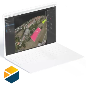
PIX4Dmapper – Perpetual Licence
$46,200
The leading photogrammetry software for professional drone mapping.
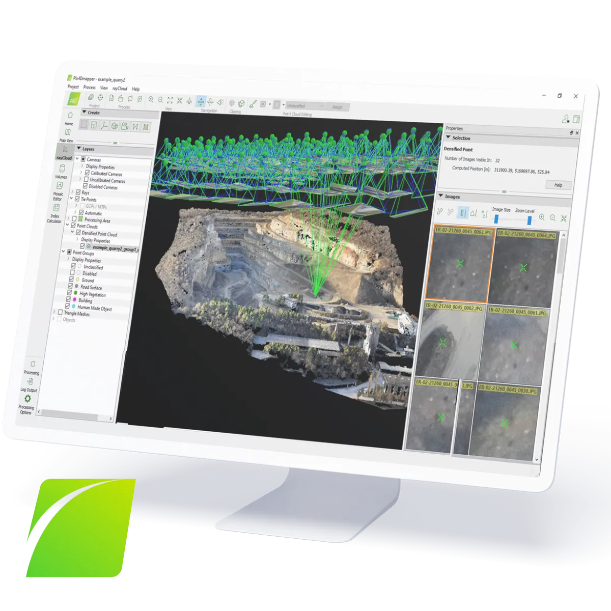
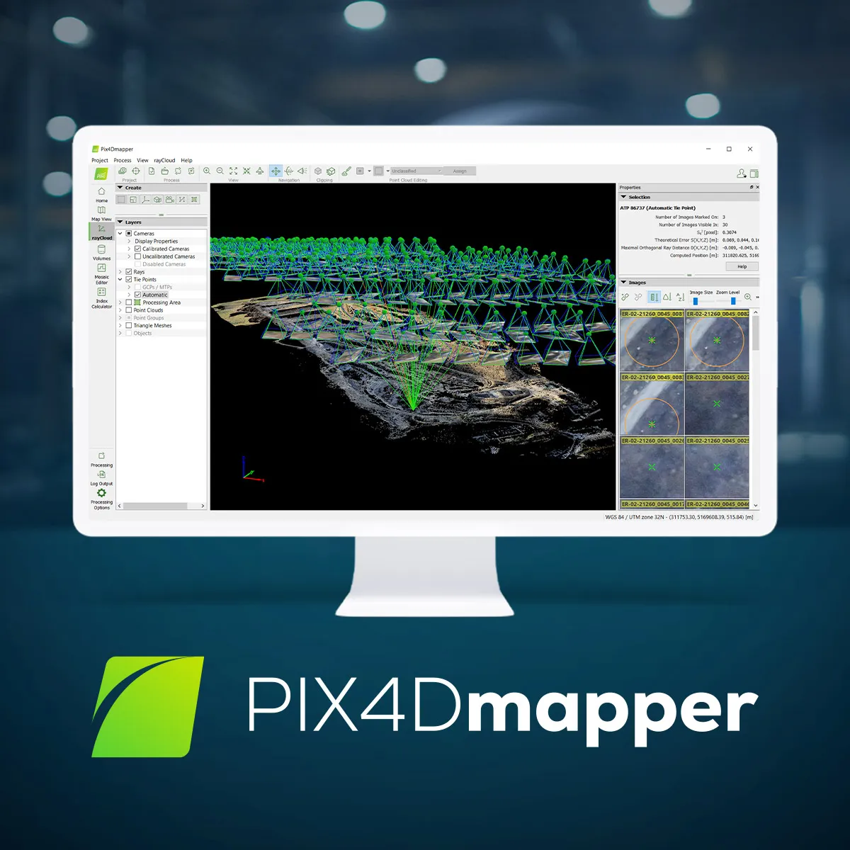
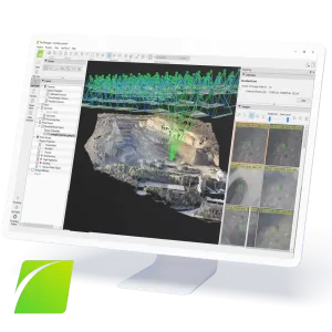
Transform your images into survey-grade accurate and geo-referenced orthomosaics, points clouds, 2D maps, and 3D models for analysis, inspections, and measurements.
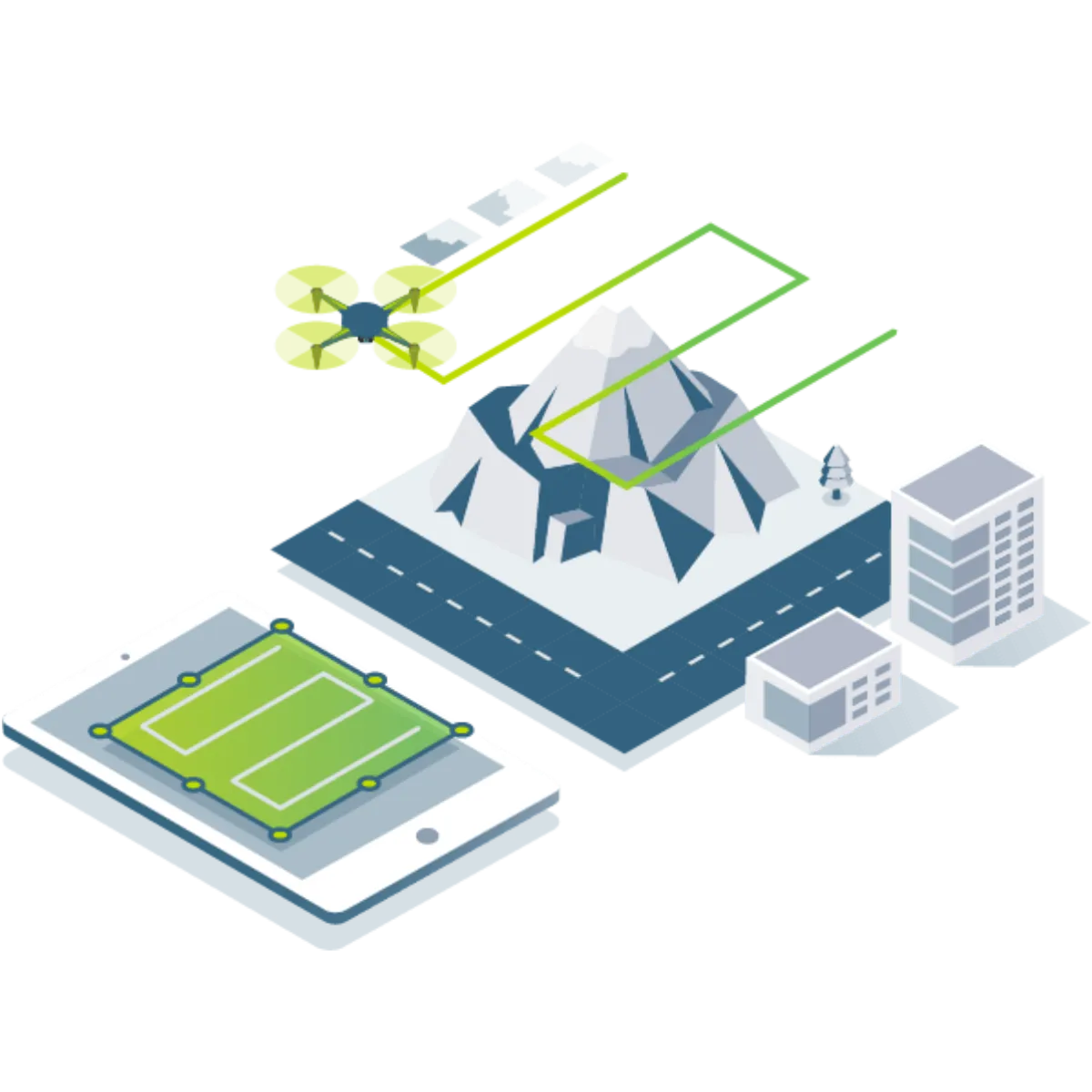
- Capture RGB, thermal, or multispectral images with any camera or drone and import them to PIX4Dmapper. Transform your ground or aerial images in digital maps and 3D models.
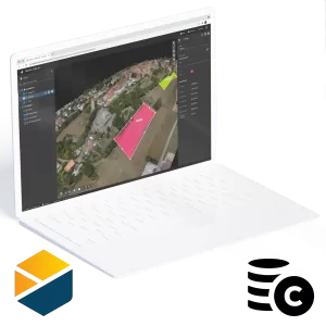
- Seamlessly process your projects on your desktop using our photogrammetry software, or bundle with PIX4Dcloud for online processing.
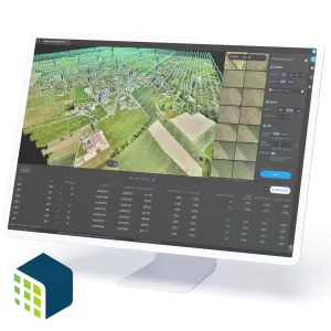
- Use the quality report to examine a preview of the generated results, calibration details, and many more project quality indicators.
- Accurately measure distances, areas, and volumes.
- Selectively and securely share project data and insights, with your team, clients, and suppliers, using standard file formats.
Description
Purchase of this product gives you a perpetual (non-expiring) licence. However, to receive ongoing support and upgrades, an annual Support Fee is charged after the first year of use. See below for other licence options.


