PIX4Dmatic – 3-Month Licence
$8,700
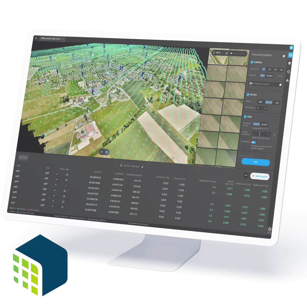
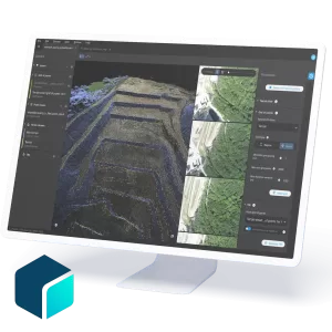
 Next generation photogrammetry software for professional drone and terrestrial mapping.
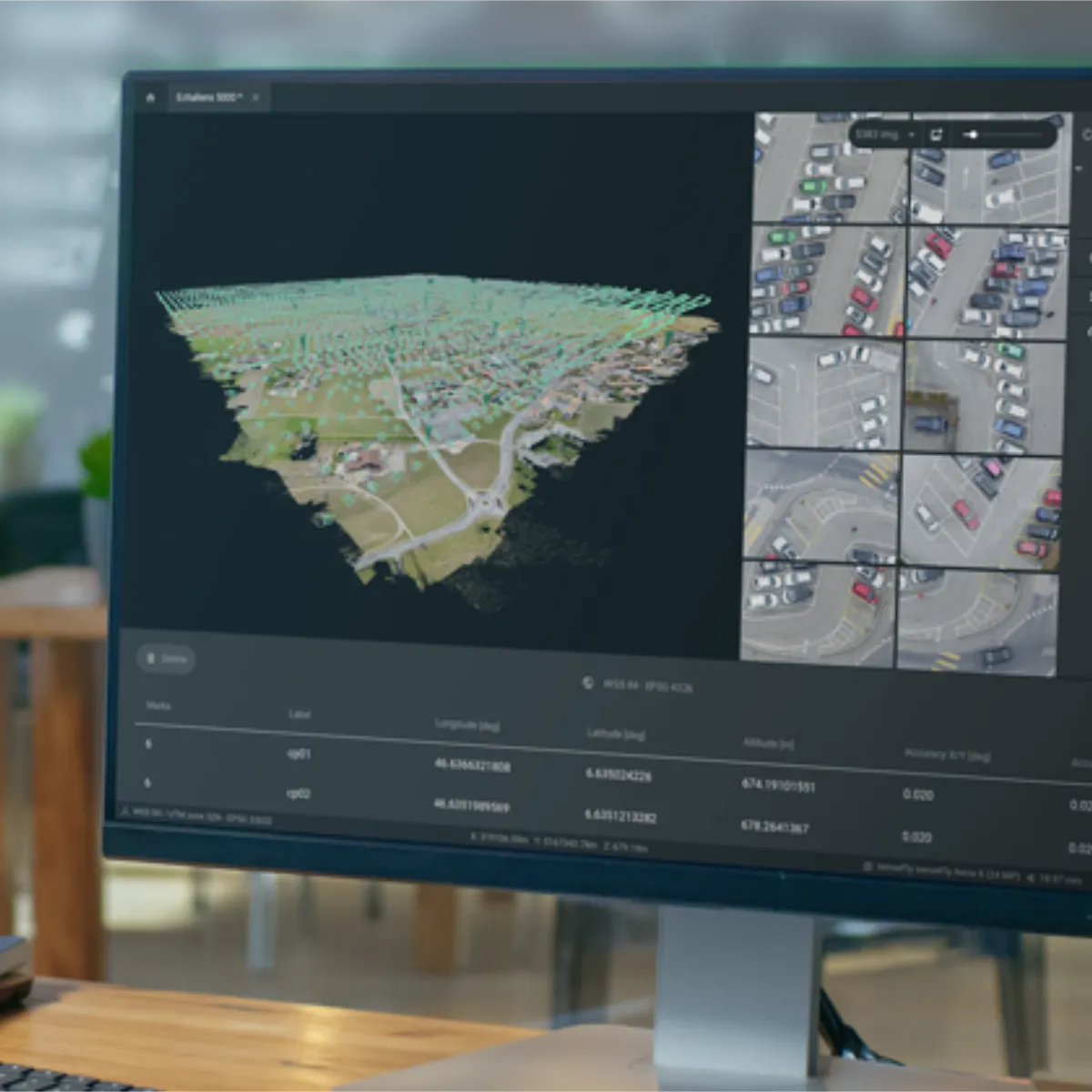
Designed for bigger datasets, PIX4Dmatic processes thousands of photogrammetry images while maintaining survey-grade accuracy; halving the processing time, without the trouble of splitting and merging. Leverage the benefits of both photogrammetry and LiDAR technology. Process LiDAR and RGB image outputs from PIX4Dcatch for a full terrestrial workflow. Easy and desktop-based!
- Import, process and assess the quality of a project in just a few clicks, and move seamlessly from PIX4Dmatic to PIX4Dsurvey.
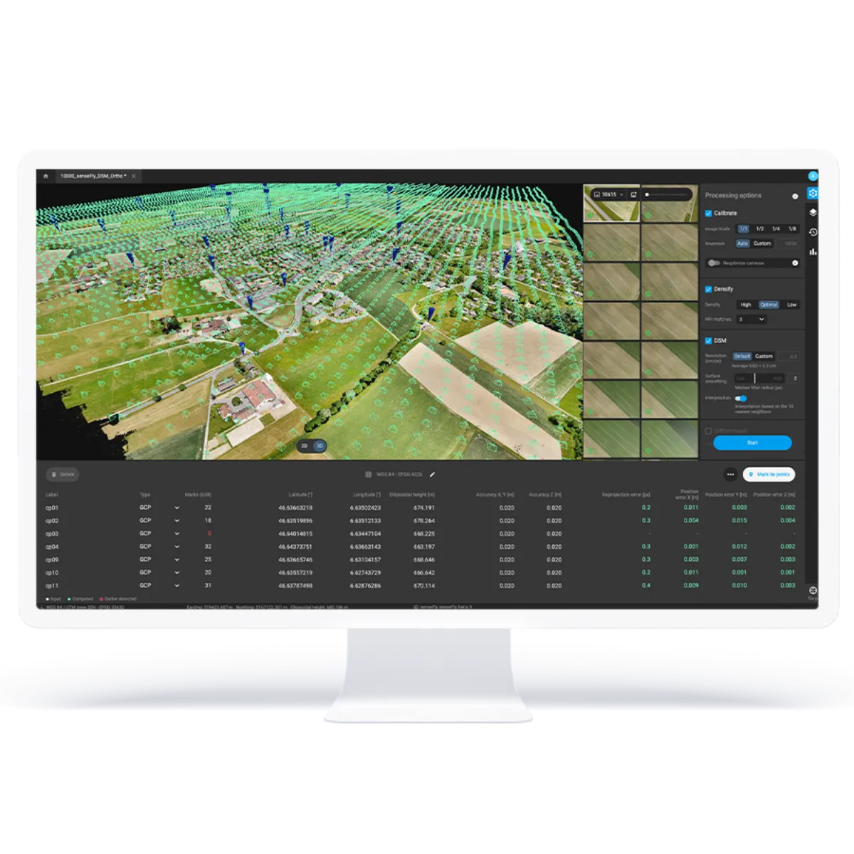
- Ensure the accuracy of your project with GCPs, Checkpoints, or Manual Tie Points. Accuracy metrics are available in a dedicated tie points table and in an exportable quality report.
- Vertical Coordinate Systems: PIX4Dmatic supports the most frequently used vertical coordinate systems and their corresponding geoids.
- Import from PIX4Dcatch: process both LiDAR and RGB image outputs from PIX4Dcatch.
- Fast development cycles: updates are released every three weeks in a new preview or stable version, ensuring you get all the latest improvements and features.
Description
Purchase of this product gives you a 3-month licence, which can be renewed at any time. See below for other licence options.


