PIX4Dsurvey – 12-Month Licence
$17,400
Bridge the gap between photogrammetry and CAD.
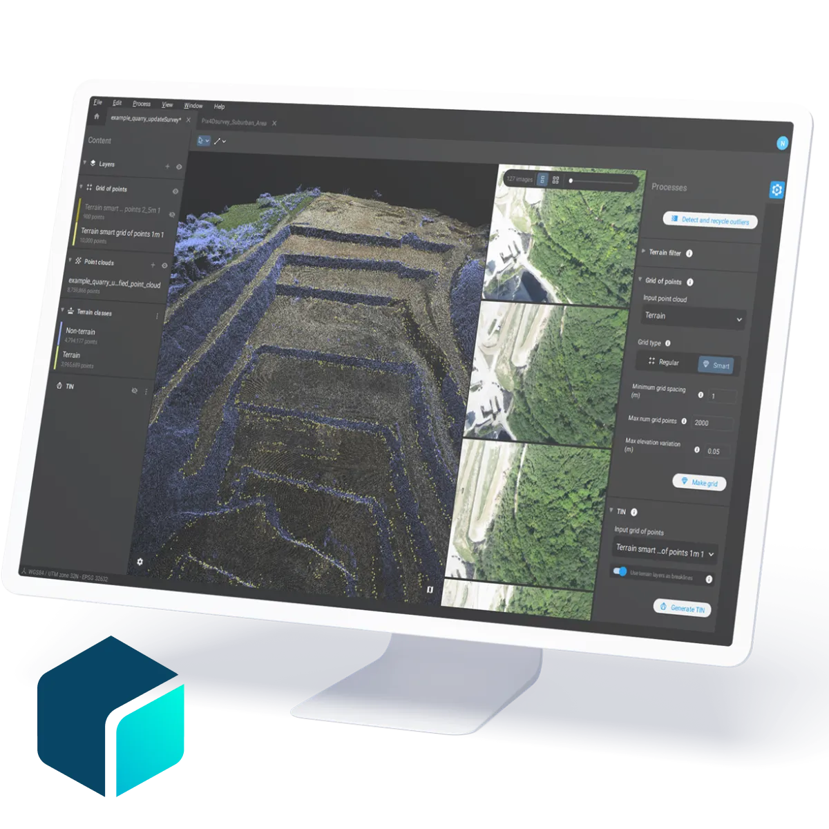
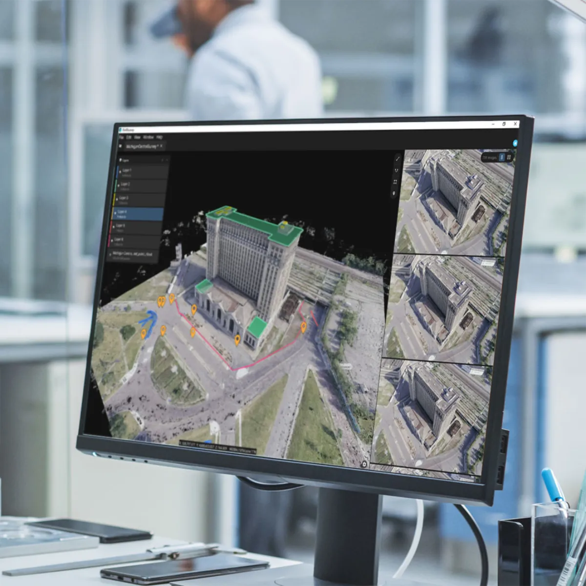
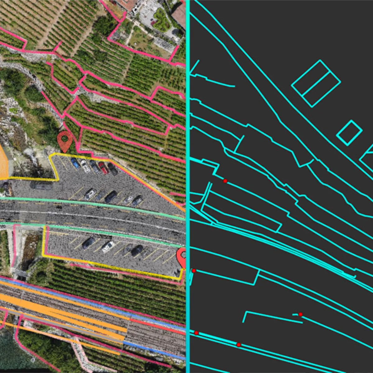
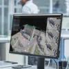
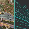
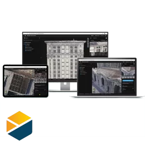
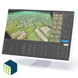
Vectorize anything! Use the combined power of images and point clouds to extract key elements from photogrammetry, laser scanning or LiDAR data. Work 50% faster when you vectorise from point clouds and verify in images, while the Smart Grid saves 1,000s of clicks creating spot elevations. Survey curbs, building footprints, walls, catenary curves and more in much less time!
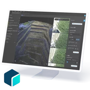
Include layers and properties for a smooth transition to CAD or GIS, and reduce file size when exporting your projects as vector files. PIX4Dsurvey works with your existing workflows. Import .p4d files from PIX4Dmapper, PIX4Dcloud, or .p4m files from PIX4Dmatic with the click of a button, or work with .las and .laz files from any device/source.
- PIX4Dsurvey has built-in vectorisation tools: vectorize your project using points, polylines, polygons and catenary curves with just a few clicks.
- Create surfaces: model the ground with a TIN from points and breaklines to represent the topography of your project. Automate the creation of spot elevations and allow drastic simplification of the number of point cloud points.
- Volumes: create and measure the volume of any object, even against a wall or in a corner, with fast, simple steps.
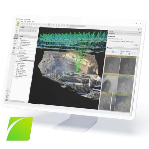
- Scale up: PIX4Dsurvey can handle billions of points. Work with as many point cloud files as you like in the same project, including .las.
Description
Purchase of this product gives you a 12-month (1 year) licence, which can be renewed at any time. See below for other licence options.


