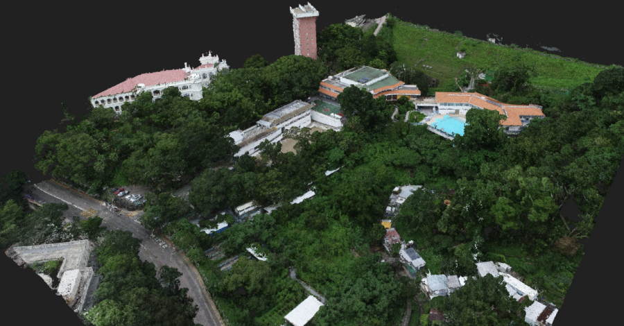
Survey and Topography Assessment
For this project, aerial photogrammetry and point cloud capture were combined with ground-based LiDAR scanning to accurately model the current structural outline, and underlying topography of this location on the south west of Hong Kong Island. The consulting engineers...
Read more

