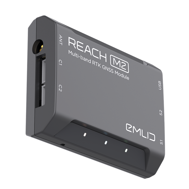
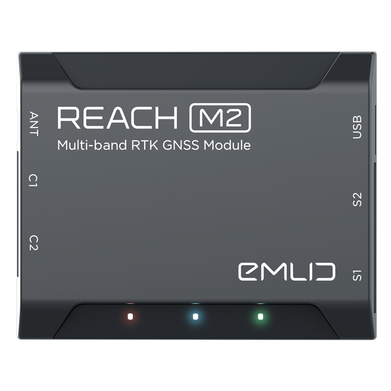
Reach M2
$5,100
Multi-band RTK GNSS module for precise navigation and UAV mapping
GNSS
GPS/QZSS, GLONASS L1, L2; BeiDou B1, B2; Galileo E1, E5
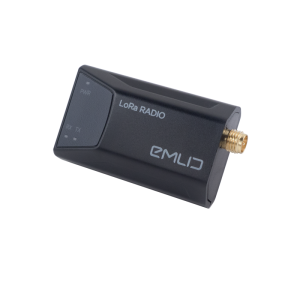
Long range radio
External LoRa radio module: 868/915 MHz, range up to 8 km (Sold separately).
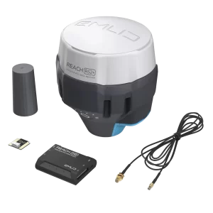
Package includes
- Reach M2
- Micro-USB cable
- JST-GH 6-pin to jumper pin cable
- JST-GH 5-pin to jumper pin cable
Note: Reach M+ Module is discontinued. The Reach M2 Module is the only one available now.
In stock (can be backordered)
Description
Reach M2 is a compact and lightweight multi-band RTK module for real-time navigation and PPK mapping. The M2 tracks GPS/QZSS (L1, L2), GLONASS (L1, L2), BeiDou (B1, B2), Galileo (E1, E5) and SBAS (L1C/A) and gets fixed solution almost instantly. Reach M2 allows working over longer baselines (compared to the single-frequency Reach M+), up to 60 km in RTK and up to 100 km in PPK mode.
Designed for UAV Applications
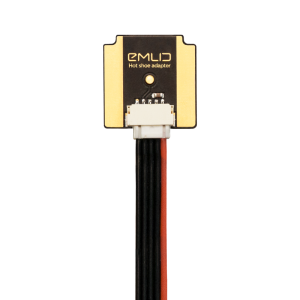
Being compact, Reach M2 can be easily integrated into almost any UAV platform. Reach M2 connects to a camera via hot shoe and records the location of each photo with the update rate up to 20 Hz. Ultimately, it produces more detailed and consistent data set for the further georeferencing at various professional mapping software.
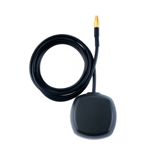
Helical GNSS Antenna
The modern helical antenna compliments Reach M2 and operates across the same satellite constellations, so you won’t miss a satellite. Helical antennas eliminate the need for a large ground plane yet allows to achieve high positioning accuracy.
Configuration and Logs Management with ReachView
Reach M2 can be configured via ReachView app, available both for Android and iOS. The app allows to set up RTK settings, collect raw data in RINEX format, and control all the features of the device.
Use with the Reach RS2 base station
Reach M2 works seamlessly with Reach base receivers over any link. It is also compatible with any receiver that supports RTCM3 and NTRIP.
Additional information
| Weight | 0.8 kg |
|---|---|
| Dimensions | 33 × 23 × 3 cm |
You may also like…
-
 Add to basketAccessories, Emlid, RS+ Products, RS2 Products
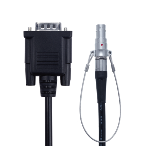
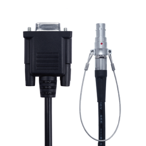
Reach RS+/RS2 cable 2m with DB9 MALE connector
Reach RS+/RS2 cable 2m with DB9 MALE connector
$312 -
Add to basket
-
 Add to basketAccessories, Emlid, RS+ Products, RS2 Products
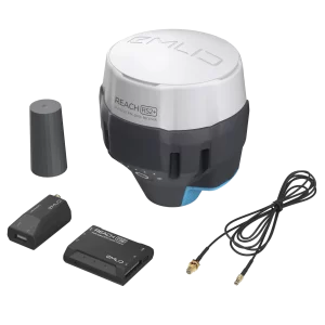
Reach RS+/RS2 cable 2m with DB9 FEMALE connector
Reach RS+/RS2 cable 2m with DB9 FEMALE connector
$312 -
 Add to basketAccessories, Emlid, RS+ Products, RS2 Products
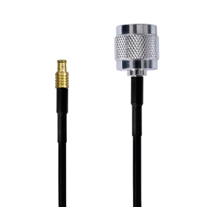
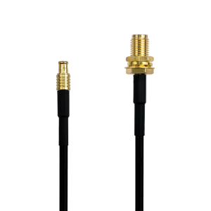
Reach M2/M+ SMA antenna adapter cable 0.5m
Reach M2/M+ SMA antenna adapter cable 0.5m
$72 -
Add to basket
-
 Add to basketAccessories, Emlid, RS+ Products, RS2 Products
Reach Camera Hot Shoe Adaptor
Reach Camera Hot Shoe Adaptor
$388


