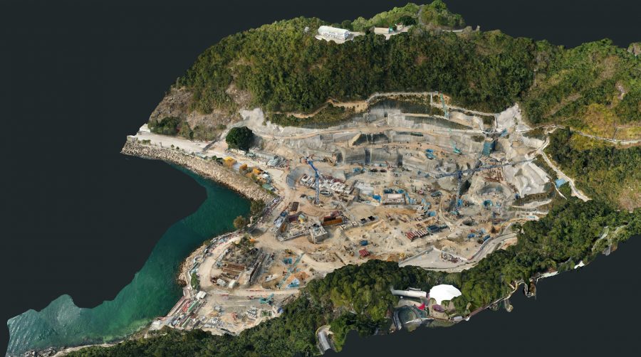
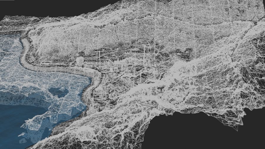
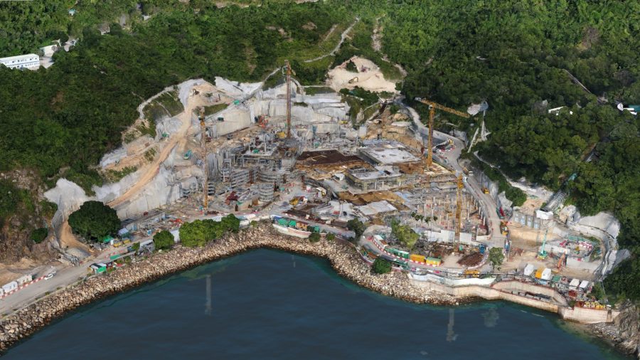
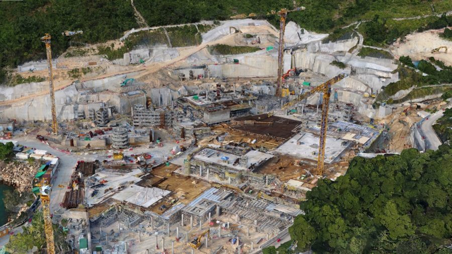
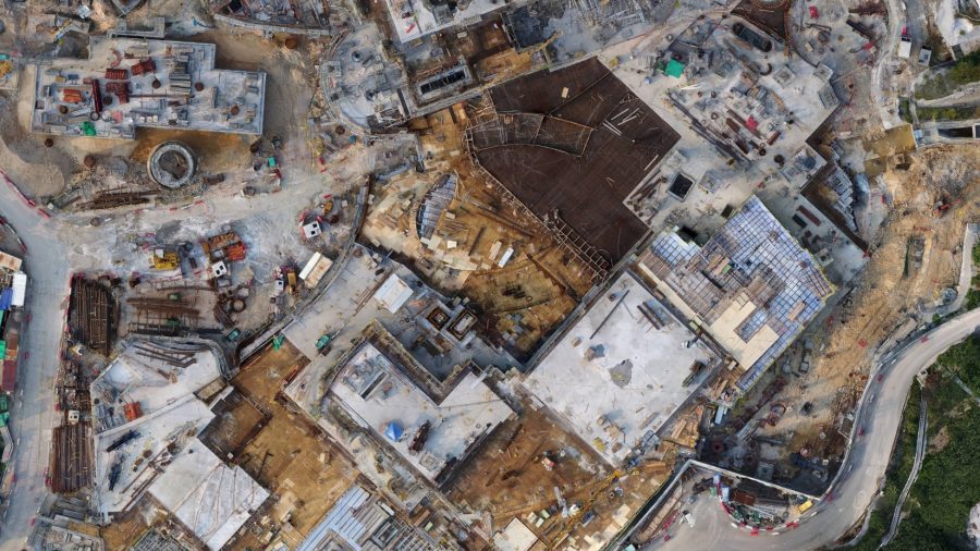
For the Ocean Park Waterworld project, precise, detailed orthomosaic maps and 3D models were captured and generated on an ongoing basis to monitor and assess slope formation and foundation work. The tight confines of the site and the steep hillsides necessitated careful analysis of site formation work to ensure compliance with survey drawings and other data.
A series of of drone flights were conducted very 3 months or so over the site, precision enhanced with ground control points to provide accuracy to within 3cm XYZ. Point cloud export data was further manipulated in Autodesk 3D and Navisworks.
The photogrammetry maps and models enabled surveyors, project managers and site managers to rapidly and accurately review progress, and check precise details on a regular basis, reducing the need for time-consuming site visits.
- Categories:3D Modelling, Photogrammetry


